


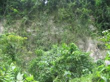
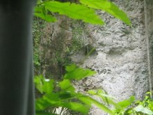
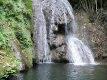
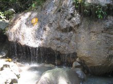
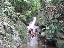
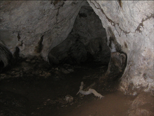
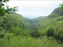
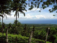
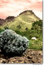
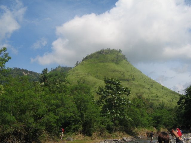
Klaja is located 15km at the North East side of General Santos City, at Barangay Conel, Kalaja Karsts Land derived her name from “el Klaja" which means water that or river that zigzags in its coast, and due to the surrounding towers of karsts formation made millions of years ago. It produced waterfalls and caves and opposite to this area is the Ranch (camping ground) of Nopol Hills which borders Conel and Brgy. Mabuhay. The place also offers wide view of Gensan, Sarangani Bay and some parts of South Cotabato and Sarangani Province.
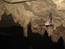
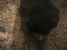
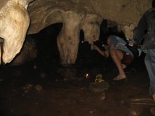
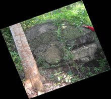
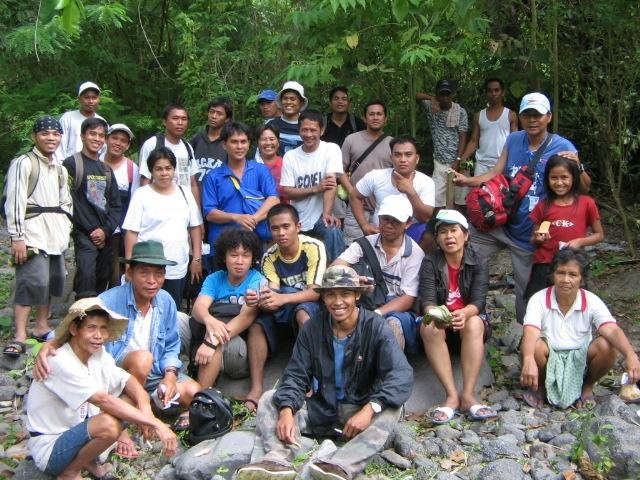
During World War II, Gen. Santos City become one of the last bastion between the American and Japanese forces. Japanese retreating forces made Kalaja Karsts Land as their last ground for defenses, constructing round cemented bunkers and tunnels. Today, you can still see bunkers at Sitio Guadalupe and at Nopol Hills,. but unfortunately for the tunnels, most were deformed and even destroyed by treasure hunters and land developers, there are lmost 10 caves which we have already entered.

No comments:
Post a Comment